Flooding Project(s) Notes
Elevation and DEM from HEC-RAS
I'm looking to see if the DEM is accessible inside the HDF file(s). This information will be used when exporting results, specifically Water Surface Elevation (WSE or WS) so that the flooding above geo-surface is accurate.
- Muncie.g02.hdf
- Geometry/
- Cross Sections/
- Attributes
- HP Start Elev
- HP Count
- HP Vert Incr
- Attributes
- Cross Sections/
- Geometry/
- Muncie.g01.hdf
- Geometry/
- Storage Areas/
- Attributes
- Name
- Mode
- Avg Area
- Min Elev
- Elev Vol Count
- Polygon Info (4 cols, 9 rows - all integer values)
- Polygon Parts (2 cols, 9 rows - all integer values)
- Polygon Points (2 cols, 409 rows - seemingly x/y coordinate pairs)
- Volume Elevation Info
- 8 rows
- Volume Elevation Values
- Cycles with 11 unique points each
- 9 Cycles for 99 total points
- Attributes
- Storage Areas/
- Geometry/
- Muncie.p04.hdf
- TODO
- Muncie.g04.hdf
- Geometry/
- 2D Flow Area Break Lines/
- 2D Flow Areas/
- Compute Processes/ (contains log information related to executables launched, simulation info, etc.)
- Cross Section Interpolation Surfaces/
- Areas
- Bounding Lines
- Orthogonal Vectors
- TIN Info
- TIN Points
- TIN Triangles
- XSIDs
- Cross Sections
- GeomPreprocess
- IBC_CON/
- NODE2ICS/
- Node Info/
- Property Tables/
- Cell Info
- Cell Value (3 columns, 2619 rows - seems to be Elevation, ?, ? - Second two points could be x/y pair?)
- XSEC Info
- XSEC Value (6222 rows, 23 cols) - Values vary pretty widely
- Reach Connections/
- Skyline/
- Storage Areas/
- XSEC Properties/
- Land Cover (Manning's n)/
- River Bank Lines/
- River Centerlines/
- River Edge Lines/
- Structures/
- Geometry/
Python "rashdf" Package
- RasGeomHdf
- cross_sections_elevations() - Return the model cross section elevation information.
- RasPlanHdf
- reference_lines() - Return the reference lines from a HEC-RAS HDF plan file.
Includes summary output data for each reference line:
- Maximum flow & time (max_q, max_q_time)
- Minimum flow & time (min_q, min_q_time)
- Maximum water surface elevation & time (max_ws, max_ws_time)
- Minimum water surface elevation & time (min_ws, min_ws_time)
- reference_lines() - Return the reference lines from a HEC-RAS HDF plan file.
Includes summary output data for each reference line:
- RasHdf
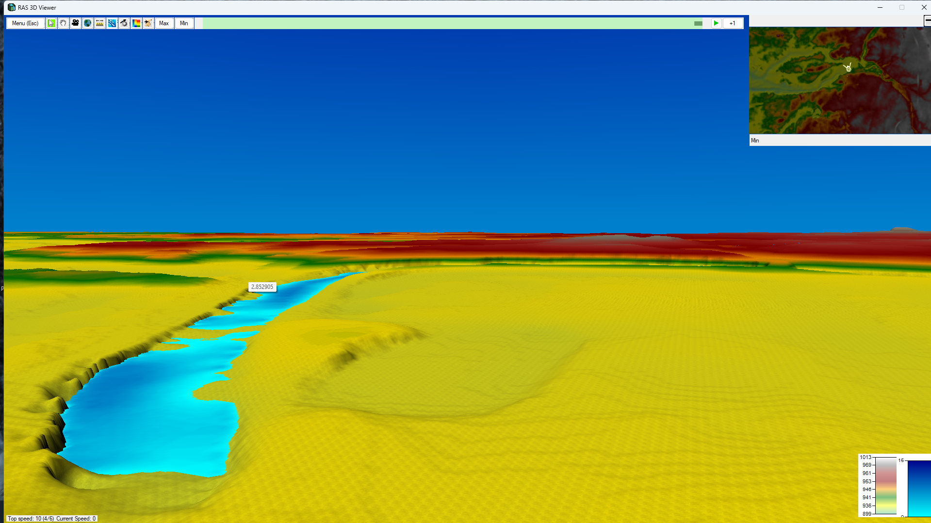
RAS 3D Viewer
Flooding Packages and Libraries
- FEMA Links
- NOAA/NWS
- Other links
HDF Parsing
rashdf package
with RasPlanHdf(HDF_PATH) as plan_hdf:
  vals = plan_hdf.mesh_faces_timeseries_output(mesh_cells['mesh_name'][0])
  print(vals)
# <xarray.Dataset> Size: 13MB
# Dimensions:        (time: 289, face_id: 11164)
# Coordinates:
#   * time           (time) datetime64[ns] 2kB 1900-01-02 ... 1900-01-03
#   * face_id        (face_id) int64 89kB 0 1 2 3 4 ... 11160 11161 11162 11163
# Data variables:
#     Face Velocity  (time, face_id) float32 13MB 0.0 0.0 0.0 0.0 ... 0.0 -0.0 0.0
# Attributes:
#     mesh_name:  2D Interior Area